  |
Bearsden & DistrictAllander River
|
  |
| |
Bearsden & DistrictAllander River
|
|
Photographs of the Allander
River
in the town centre of Milngavie
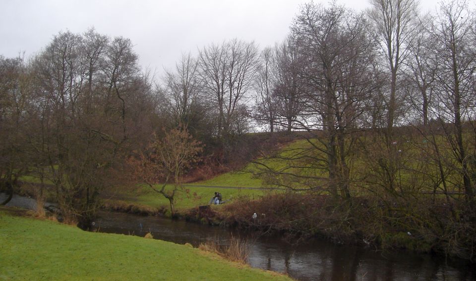
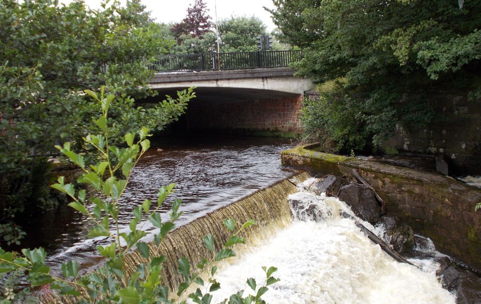
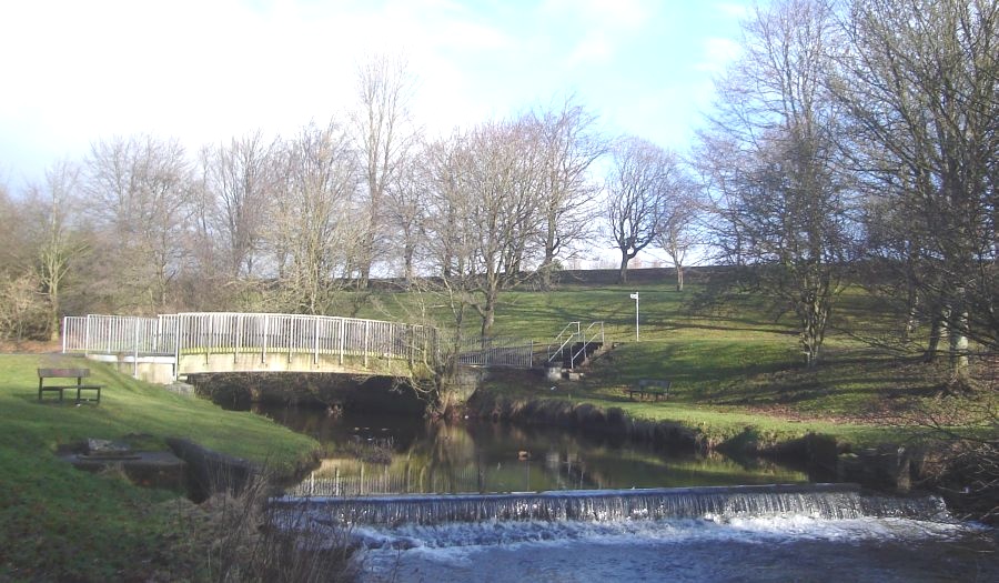
Allander
River in Milngavie at the start of the Kelvin Walkway The
Kelvin Walkway connects Milngavie
with the Glasgow Heliport on the north bank of the River Clyde. The walkway follows the Allander Water for 2 miles ( 3km ) southeast from Milngavie to join the River Kelvin. The route then turns southwest leaving the Kelvin to strike south through Summerston. Joining the river again just north of Maryhill, the Walkway then proceeds south through Kelvinside, Kelvingrove Park and Yorkhill to reach the Clyde. A total distance of 9 miles ( 14.5km ) is covered. |
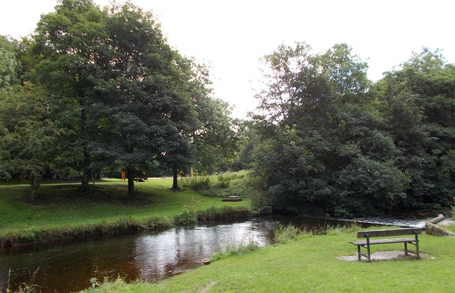 Allander
River in Milngavie
|
 Allander
River in Milngavie
|
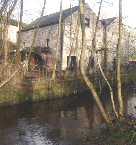
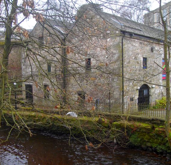
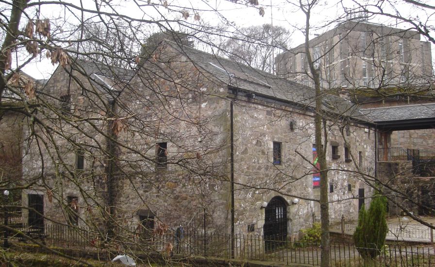
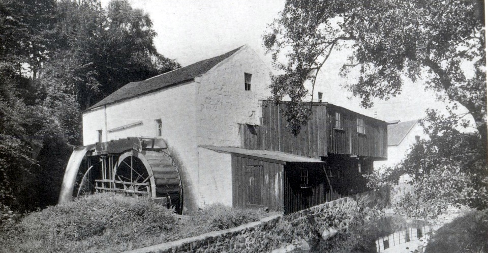
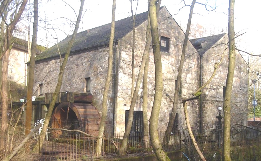 Gavin's
Mill
on the Allander River in Milngavie The village of Milngavie grew up on the banks of the River Allander where grain mills have been powered by the river since the fifteenth century. The village name may derive from the historic Gavin's Mill. Gavin's Mill dates from c1670 and is a category "B" listed building. Gavin's Mill has been converted for use as a restaurant. |
 Gavin's
Mill
on the Allander River in Milngavie |
 Gavin's
Mill
on the Allander River in Milngavie |
 Gavin's
Mill
on the Allander River in Milngavie |
 Gavin's
Mill
|
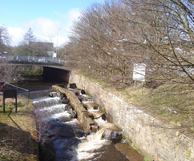
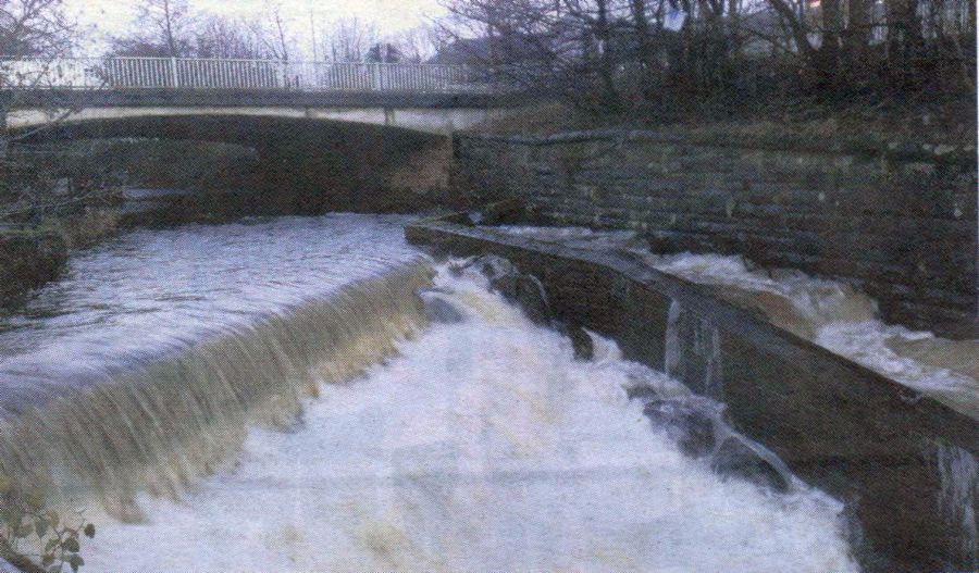 Fish
Ladder
on the Allander River in Milngavie |
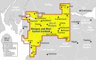
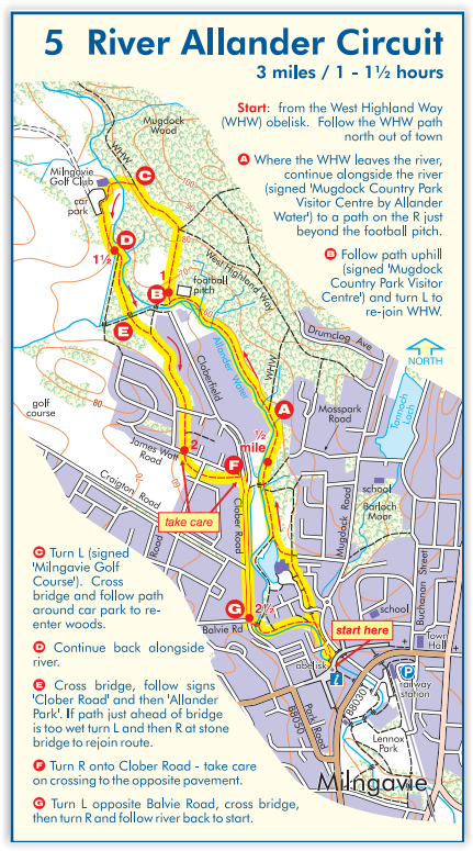 Map
for Allander
River circuit
in Milngavie |
 :: Bearsden
& Milngavie Photo
Gallery
:: Bearsden
& Milngavie Photo
Gallery 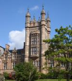
Glencoe | Ben Nevis | Knoydart | Isle of Skye | Isle of Arran | The West Highland Way
The Eastern Highlands | The Central Highlands | The Southern Highlands | The NW Highlands