  |
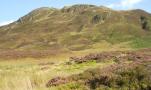
The Scottish HighlandsBeinn Each
|
  |
| |
The Scottish HighlandsBeinn Each
|
|
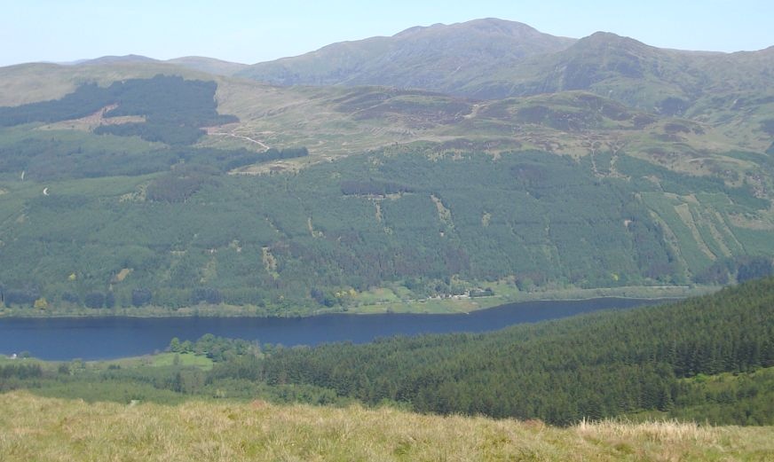
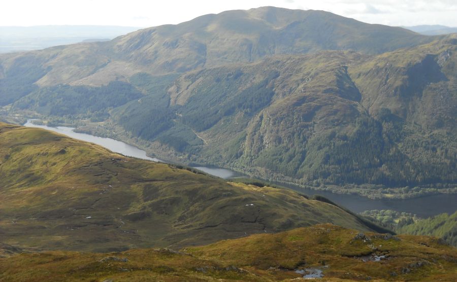
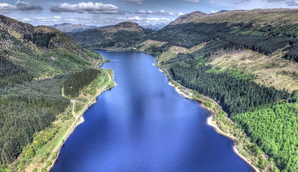
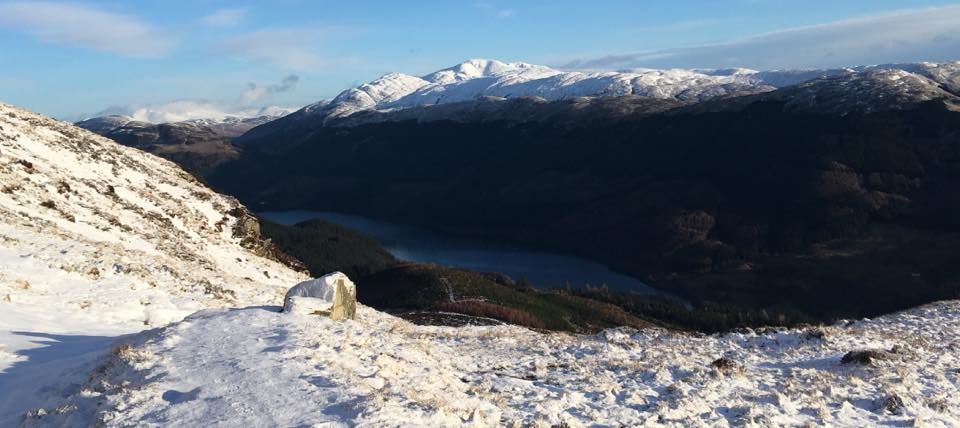
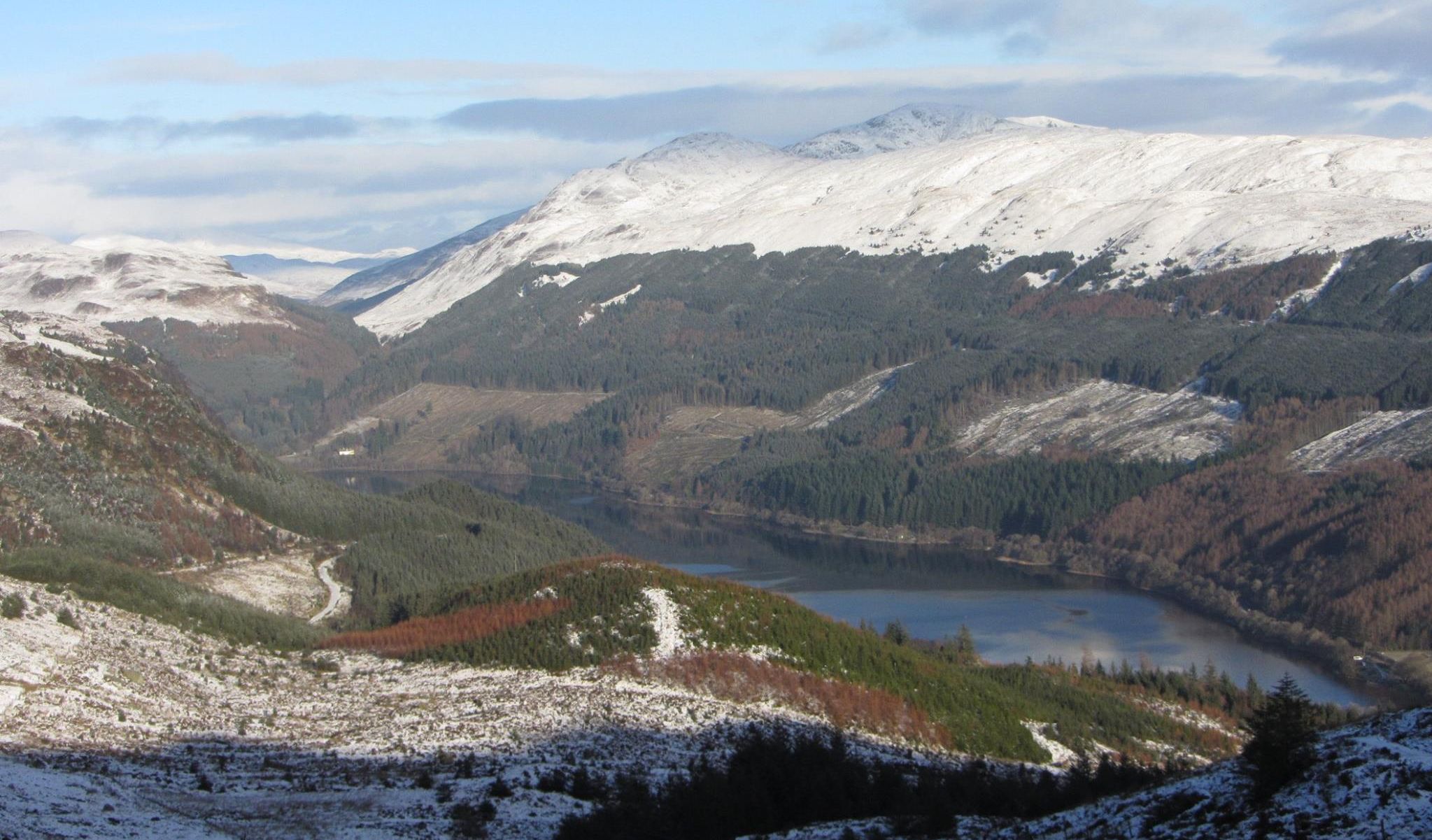
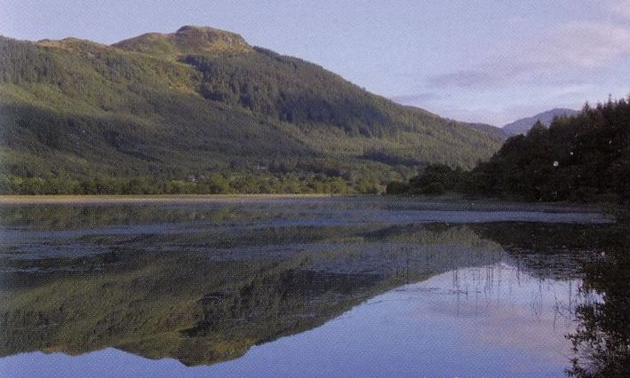
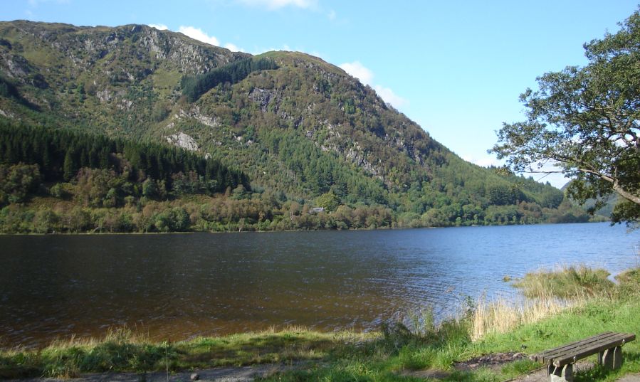 Loch
Lubnaig
|
 Signpost
on Right of Way
through Glen Ample for path to Beinn Each |
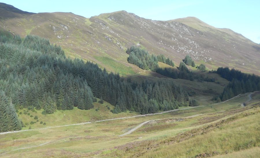
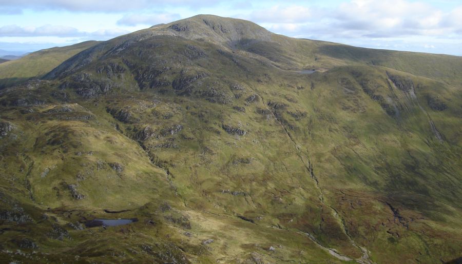
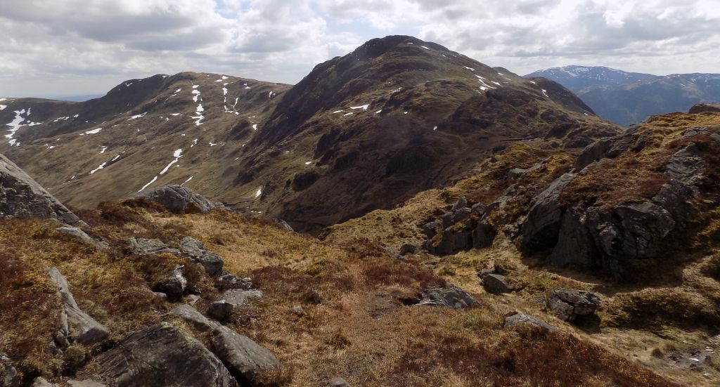
 Beinn
Each from Glen Ample
|
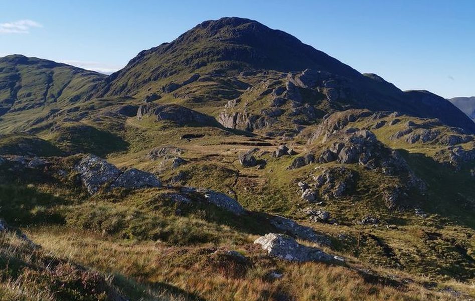 Beinn
Each above Glen Ample
|
 |
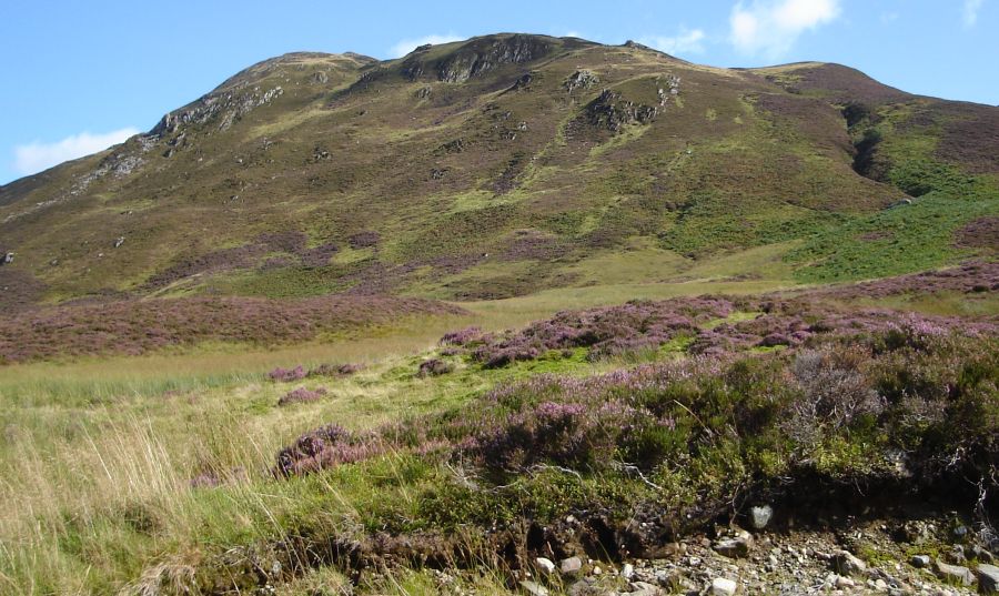
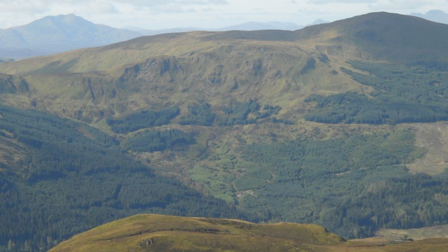
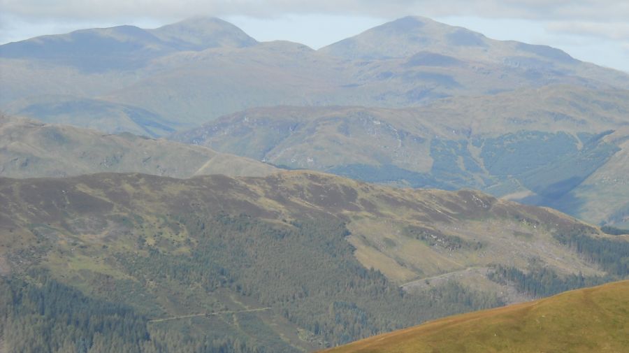
 Ben
Ledi above Loch Lubnaig
on ascent of Beinn Each |
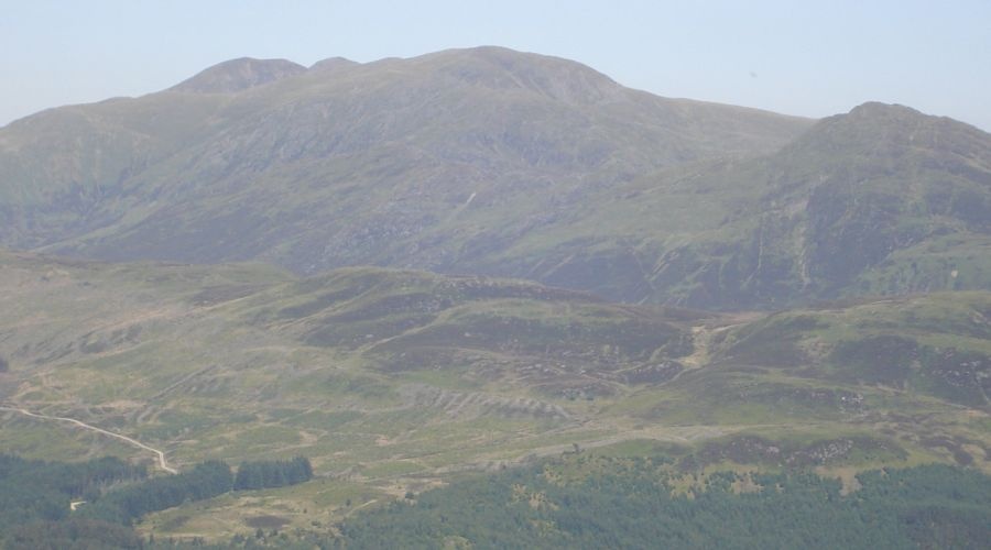
 Beinn
Each above Loch Lubnaig
|
 Right
of Way through Glen Ample
|
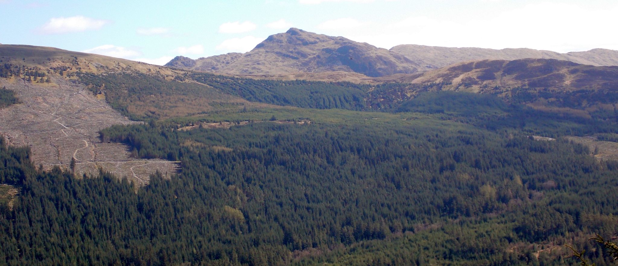
 Ben
Lomond and Ben Vane
( a Corbett )
from Beinn Each |
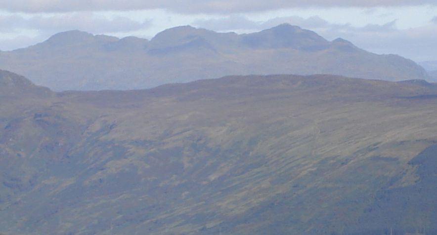
 Stob
Binnein and Ben More
from Beinn Each |
 |
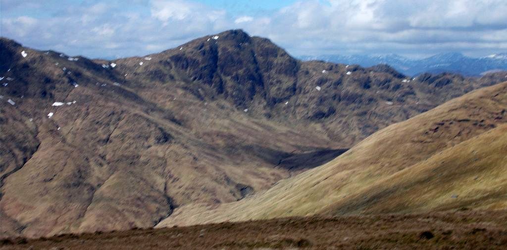
 Stuc
a Chroin
from summit of Beinn Each |
 Ben Vorlich
from summit of Beinn Each |
 Meall
na Caora and Beinn Each
from Stuc a'Chroin |
 Beinn
Each
on ascent of Stuc a'Chroin |
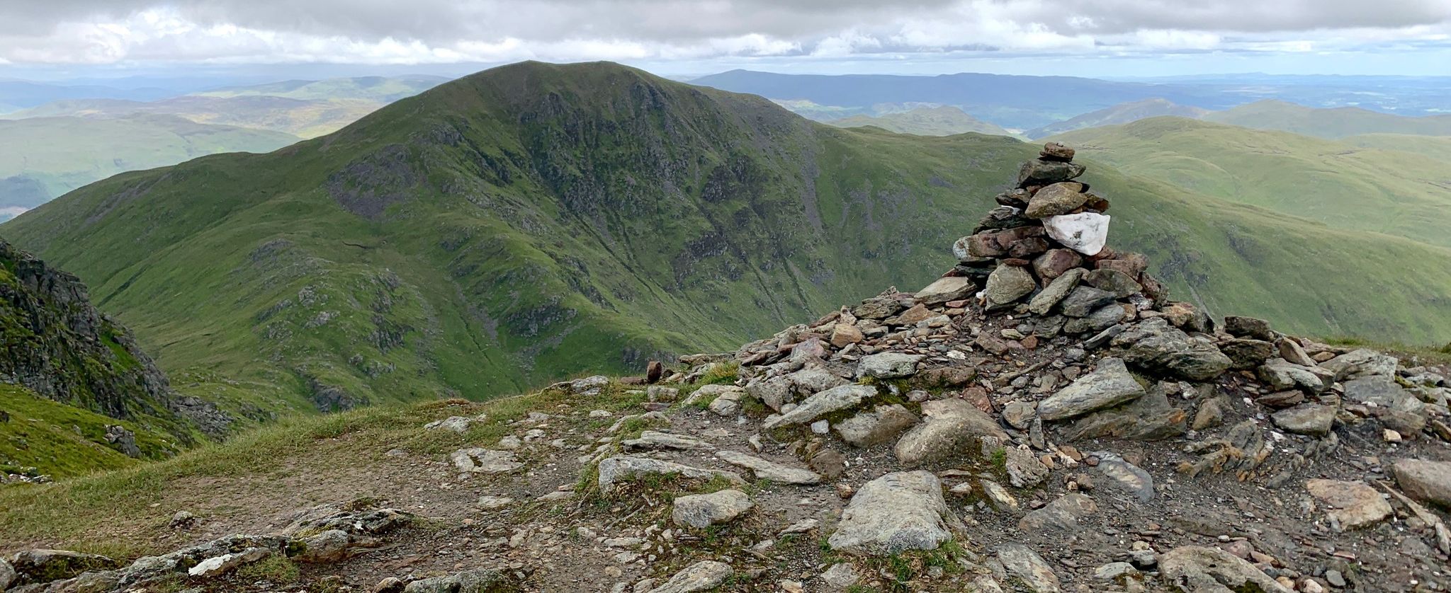
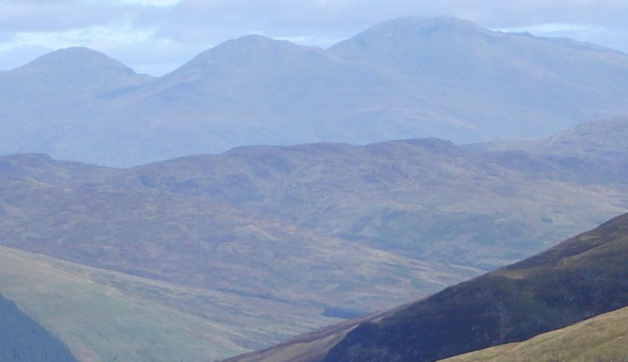 Ben
Lawyers Group
from Beinn Each |
 |
 |
 |
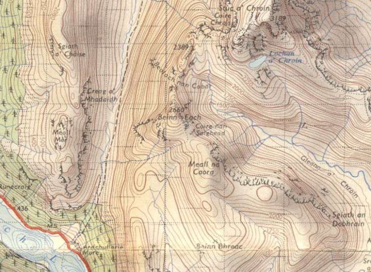 Map
of Beinn Each
|
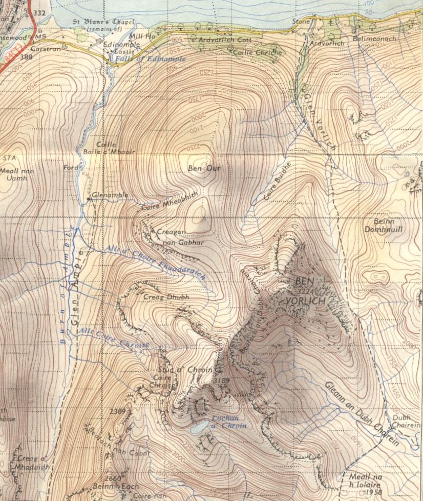 Map of
Ben Vorlich, Stuc a Chroin
and Beinn Each ( Note: Click here or on map for large format copy ) |
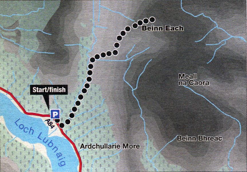 Route Map
of Beinn Each
|
BEINN EACH - ROUTE DESCRIPTION:
Location: Glen Ample, Stiriing
Map: OS Landranger 57 (GR 602158)
Distance: 4.5 miles (7 .5km)
Time: 3 hours
Terrain: tracks and paths
When viewed from Stirling, Stuc a’ Chroin and Ben Vorhch dominate the horizon, overshadowing Beinn Each.
Its steep and rocky east face is hidden from view and the long undulating southern ridges present a sprawling profile.
Close up, Beinn Each takes on the characteristics of its near neighbours and is bigger, steeper and rockier than expected.
The starting point is a layby at Ardchullarie More. Follow the signposted right of way up to Ardchullarie Lodge and a
footpath which ascends steeply then diagonally through a plantation to a track. This leads left to the edge of the forest and open hillside.
A rocky path once led through the glen and over to Glen Ample, but this has been widened and levelled to make an all-terrain-vehicle track.
Fairly soon the track crosses the Eas an Eoin and a signpost is reached before ruined shielings. A clear but initially marshy path ascends the West
side, before swinging left to skirt the brow of the hillside. The going is straightforward but surprisingly steep in places.
A line of intermittent fence posts is gained and followed to a small cairn on the summit and impressive views north of Ben Lawers and the
Tarmachans, with Ben More, Stob Binnein and the Crianlarich hills to the north-west.
The safest if longest descent is to retrace your steps, although a quicker if equally tiring descent can be made from Bealach nan Cabar
diagonally south-West across Beinn Each’s western flanks to the track in the glen. Including Stuc a’ Chroin doubles the
distance and the time.
Loch
Lubnaig
|
 Beinn
an t-Sidhean above Loch
Lubnaig
|
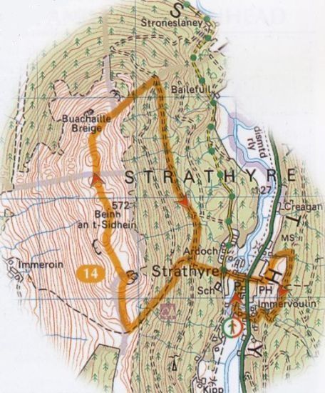 Route
map for Beinn an
t-Sidhean
|